InSAR with MissionOS | Global
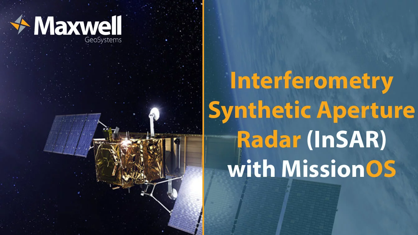
Interferometric Synthetic Aperture Radar or InSAR is a geodetic technique that helps identify movements of the Earth’s surface by using radar signals from Earth-orbiting satellites. InSAR uses a collection, or “stack”, of Synthetic Aperture Radar (SAR) images of an area over time to do necessary correction and identify surface movements down to millimeter accuracy.
By identifying specific areas of deformation within broader regions of interest, InSAR imagery can also be used to better position specialised instrumentation and save cost. Maxwell GeoSystems (MGS) have access to a number of satellite resources that can deliver satellite interferometric radar processing and presentation of results in the award winning MissionOS platform, for combination with other site data.
The company has a history of successful delivery of InSAR monitoring through its own processing and delivery through to the absorption and presenting data provided by others. A significant milestone was recently achieved on Melbourne Metro where Maxwell GeoSystems’ InSAR is now providing most of the post construction monitoring.
Read more in-depth on how MissionOS supports InSAR, as well as various application areas this method can be useful in: https://www.maxwellgeosystems.com/articles/missionos-in-sar
#MGS #ConTech #InSAR #DataManagement #MissionOS
Follow our socials!


