News Hub
Maxwell GeoSystems maintain an active library of media articles and copies of its latest contributions to trade journals.
MissionOS Insight On InSAR
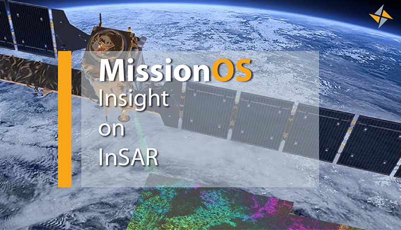
MissionOS Delivers Insights On InSAR
InSAR (Interferometric Synthetic Aperture Radar) is established in a wide range of applications across many industries and is rapidly becoming a key requirement for large infrastructure projects. However, extracting this data to compare with physical instrumentation and construction activities is frequently a challenge. At Maxwell GeoSystems, we recognise the need for engineers to be able to make informed decisions readily without the need for compiling data from multiple sources together. That's why our MissionOS construction data management system is fully equipped with tools to host your projects InSAR data and make insightful on-the-fly comparisons with physical instrumentation data and construction activities. The data is displayed directly in the MissionOS system in both 2D and 3D and end-users can extract data from the hundreds of thousands of InSAR points for particular time series analysis. Hosted entirely on the web, all of your project data is readily accessible from anywhere. Be sure to check out this posting and Follow Us on our LinkedIn company profile for the very latest news and developments. #MissionOS #INSAR #Cloud-based platform
Follow our company profile on LinkedIn for the very latest news and developments.
Date: 02/02/2021
Ref: MGS-INSAR-01
