

NOVA – A Natural-Language AI for Geotechnical Monitoring
How natural-language interaction can provide a new way to work with large and complex instrumentation data sets.
- –
- Stage 2
Exploring new ways to access, structure and use the growing volume of data generated across geotechnical projects.
How can geotechnical teams make better use of the growing volume of data generated throughout a project?
How natural-language interaction can provide a new way to work with large and complex instrumentation data sets.
How better structured, connected and accessible construction data can improve the way geotechnical information is captured and used.
When data reaches billions of records, finding the right information becomes a challenge in itself.
Nearly 3 billion instrumentation records collected over five years across HS2's London and Birmingham sections.
MissionOS ingests approximately 40 million records every month.
This information is critical to project assurance, helping teams monitor conditions, manage risks and support construction decisions.
MissionOS brings together monitoring data through its GIS and Digital Twin capabilities, helping teams analyse information, present findings and manage alarms.
on MissionOS
The scale of modern monitoring data presents a growing challenge: making the information users need readily accessible without introducing additional complexity.
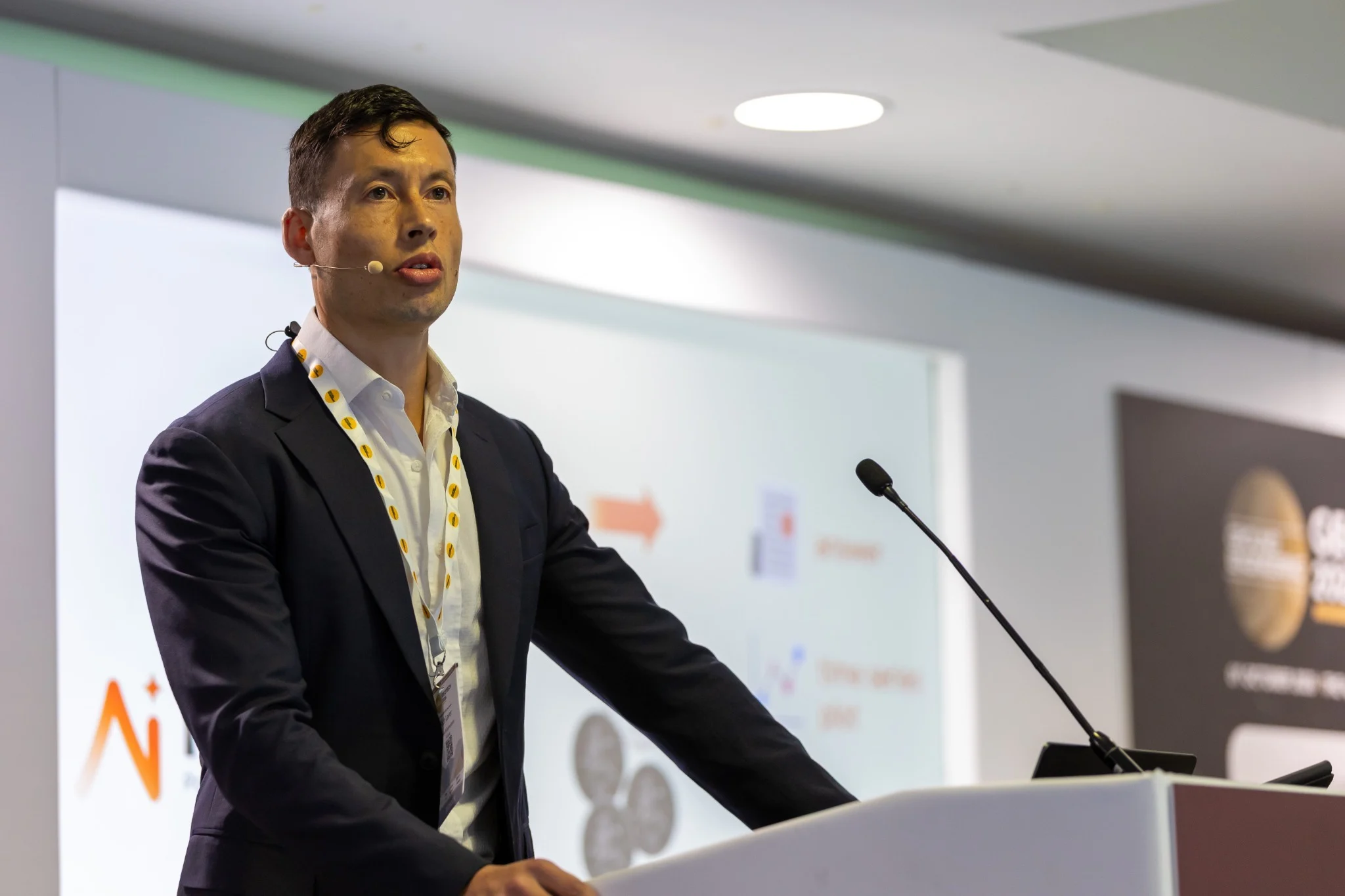
NOVA provides a natural-language interface for interacting with instrumentation data.
Rather than relying solely on dashboards, filters, and predefined views, users can query their data using everyday language, making information easier to access.
NOVA is designed to work with dynamic data schemas, enabling it to interact with different project data structures without requiring a fixed, one-size-fits-all approach.
“NOVA opens a new way to access monitoring data - making it easier to ask questions, find information and explore complex data sets.”
Presented by
Better data starts with better records.
Geotechnical projects generate vast amounts of information throughout their lifecycle - from design predictions and construction records to monitoring data and asset handover. However, this information is often fragmented across reports, drawings, spreadsheets, and disconnected workflows, making it difficult to maintain a consistent view of project information and access the data needed for informed decision-making.
Maxwell GeoSystems will present MISSION BUILDER, a GIS and Digital Twin-based construction data modelling environment designed for ground engineering.
Working alongside DESIGNER and MONITOR, BUILDER connects design intent with construction activity and creates a structured record of the work as it progresses.
DESIGNER brings design predictions and planned activities into the project data environment.
MISSION INSPECTOR communicates information to site and captures records directly from the works.
Machine and remote sensing data can be brought directly into BUILDER.
Structured records provide a basis for assessing productivity and performance.
A project generates knowledge at every stage. Connecting that knowledge creates a more useful project record.
Data can be captured at the point of work, connected across workflows, validated within the data model, analysed as construction progresses and retained as an accessible record beyond the immediate activity.
NOVA and MISSION BUILDER address two sides of the same challenge: making growing volumes of geotechnical data more accessible and useful.
A natural-language interface for exploring large-scale instrumentation data and asking questions in a more direct way.
A GIS and Digital Twin-based environment for capturing, connecting and using construction data throughout the project.
Geotechnical managers, construction managers and project decision-makers.
Geotechnical consultants, owners’ engineers, and site supervision teams.
Geotechnical construction managers and teams responsible for delivering ground engineering works.
Project focus: Tunnelling · Piling · Basements & Retained Excavations · Earthworks · Land Formation
Thanks for joining us
The Kia Oval, London
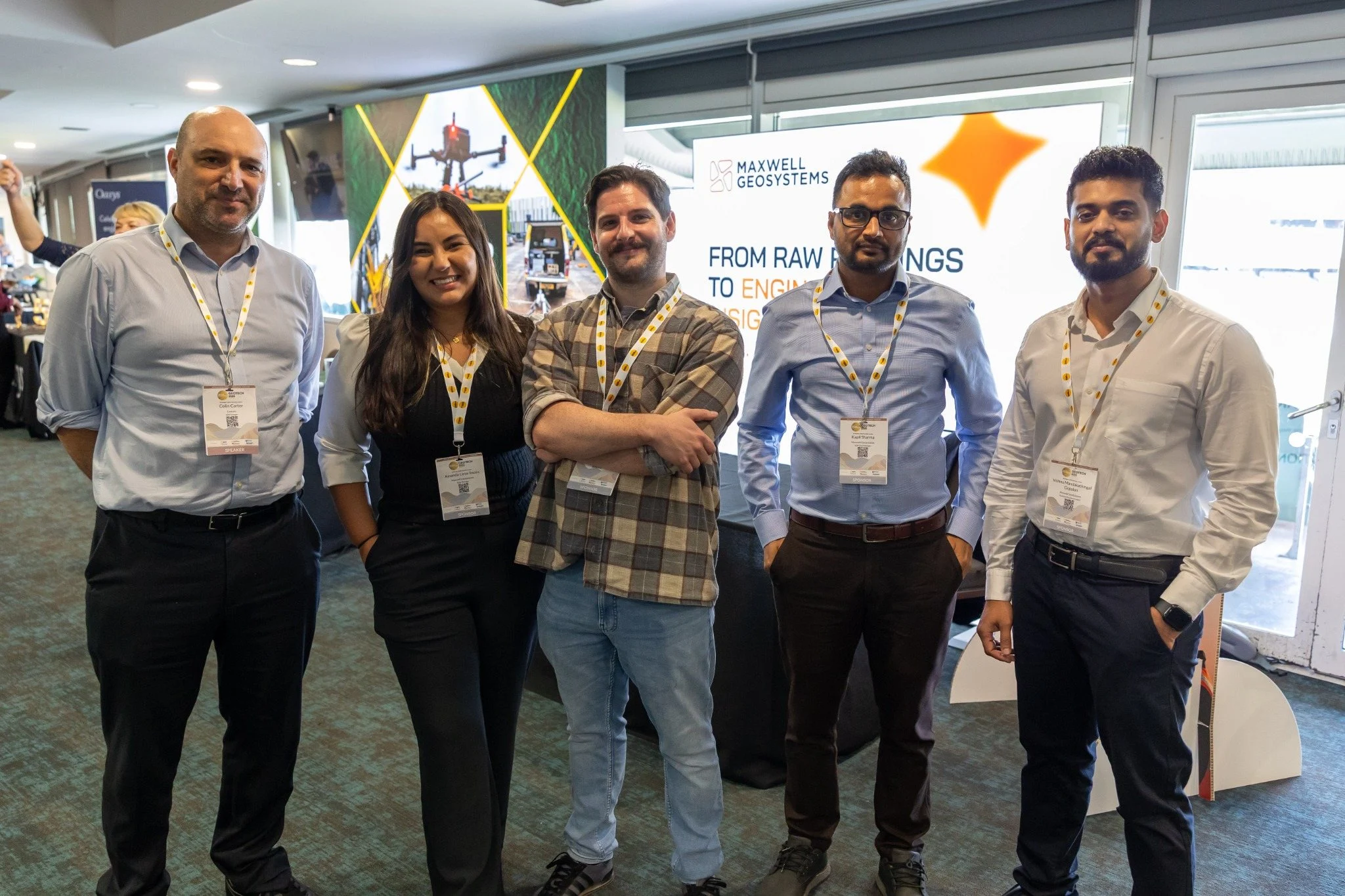
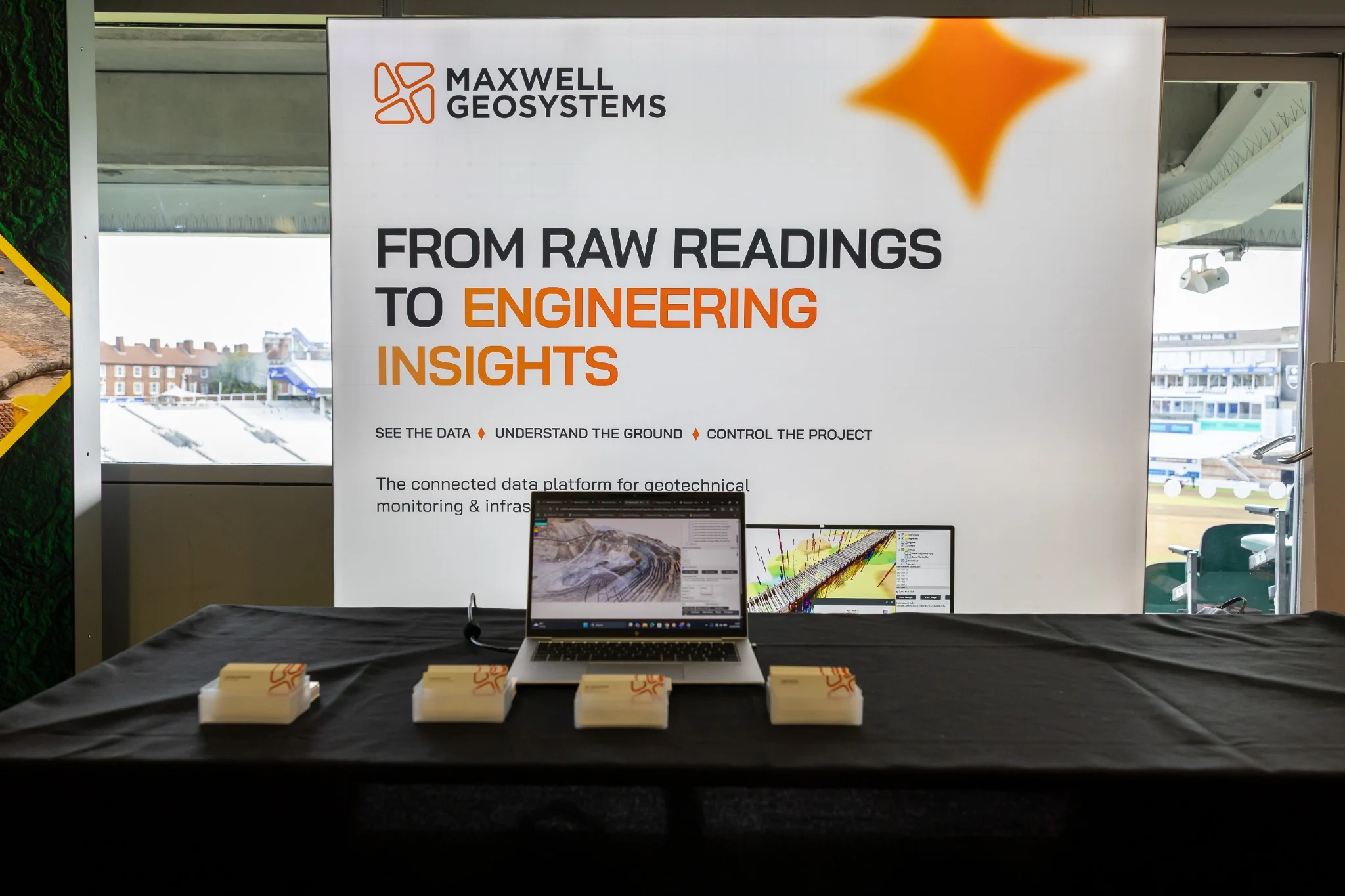
Meet the Maxwell GeoSystems team to explore geotechnical monitoring, construction data management, Digital Twins and the practical application of AI to project data.
View More