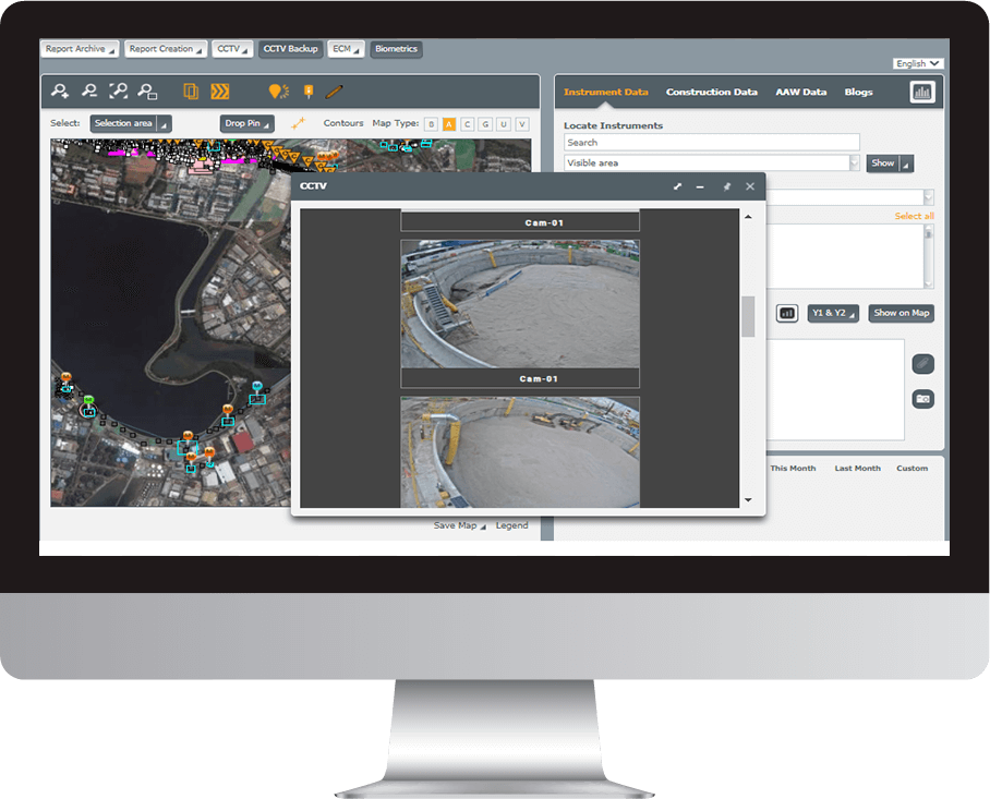
Environmental monitoring data is instrumentation data, but often kept completely separate.
Environmental monitoring data is instrumentation data, but often kept completely separate.

Environmental data is often collected separately from core construction monitoring. MissionOS bridges this gap by integrating environmental metrics into the same platform used for geotechnical and construction data.
This unified approach enables comprehensive oversight of environmental impact in real time. With configurable alerts, automated reporting, and easy-to-access dashboards, teams can respond swiftly to threshold breaches, maintain regulatory compliance, and demonstrate environmental responsibility throughout the project lifecycle.

By actively managing risk, MissionOS has helped secure project-wide insurance.
MissionOS is an end-to-end risk management system that supports projects throughout their lifecycle. It starts by classifying hazards and defining effective treatments, enabling better risk understanding and informed decision-making. The system continuously identifies, tracks, and reports key project parameters—from initiation to implementation—delivering real-time, context-rich data for effective risk control.
Risk Management begins by classifying all the different hazards within a project and determining the most effective treatment of these risks throughout its duration.
Risk Identification determines what could happen that could affect the project objectives and how these events could occur. It is an iterative process as new risks may only.
Risk evaluation is the process of comparing the results of the initial risk analysis with the risk evaluation criteria as defined during project formation, thereby determining.
Maxwell GeoSystems utilizes cloud-based servers for its MissionOS platform, offering ease of access, enhanced security, and scalability as your project progresses.
Each Maxwell GeoSystems contract includes a Service Level Agreement (SLA) that outlines the expected service, scope, and performance levels.
We provide clients with flexible deployment options. sts modular, scalable, and configurable design ensures project efficiency and customer satisfaction, supported by dynamic pricing throughout the project lifecycle.
Deployed in the cloud, MissionOS provides flexibility, choice and scalable options for a project.
Through its highly configurable and intuitive user interface MissionOS can optimise project pricing solutions.
Find out how you can seamlessly integrate MissionOS within your existing IT landscape.
Connect directly with a Maxwell GeoSystems support expert via email, or live chat.
Gain access to MGS Learn, the online learning platform for free, self-paced courses on product and topic-based certifications.
Discover all the latest product information on MissionOS and share your experiences with other system users.