Interface
Interface
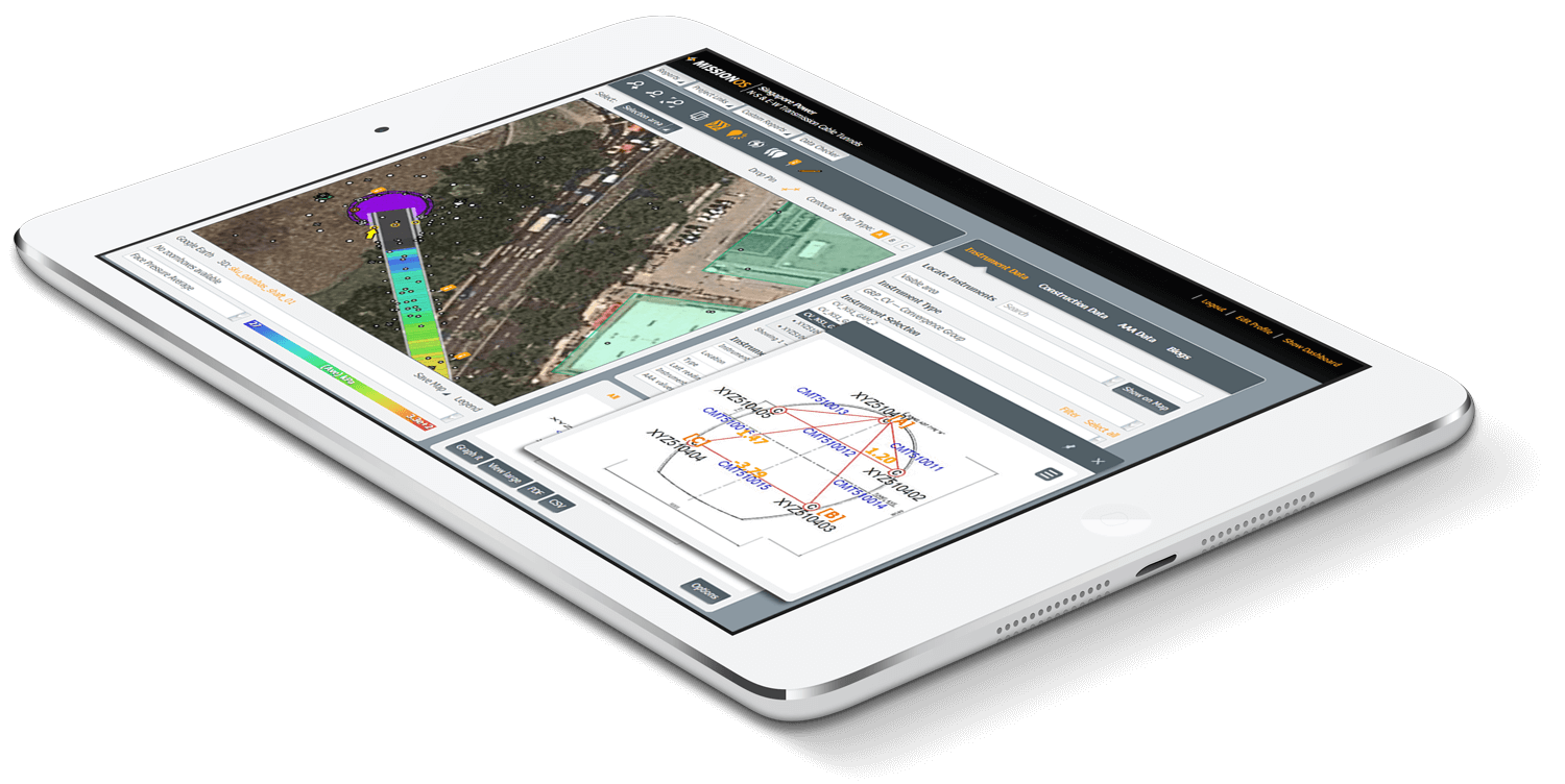
Maxwell GeoSystems’ MissionOS offers its Clients a custom web GIS user interface.
Custom Web GIS Interface In Plan
Maxwell GeoSystems’ own mapping solution gives users a solution focused on infrastructure management
- Simple mapping interface with no middle ware
- Register hazards & sensitive structures to the system by digitising them
- Organised data tabs for instrumentation and construction detail
- Interactive zoom and pan
- Construction progress data
- Built in alarms and blogs make communication easy
- Flexible graphing and reporting
- Construction progress data
- Viewable in Google Earth
- 3D viewing in SketchUp
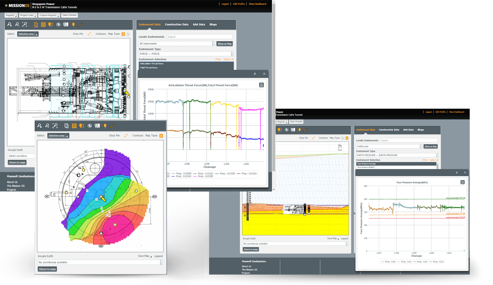
- Show TBM and other construction parameters on the map
- Download your data to Excel at any time
All graphs can be saved as part of the Canvas sheets library


Custom GIS In Section
Flexibility to Design any Interface According to Clients Needs not Middleware Capability
- Plan – Easting, Northing
- Section – Chainage and Reduced Level
- Schematic long section – dX in m along the control line relative to the cutterhead chainage, dY in m above and below the control line
- Schematic – cross section – dX left and right of the control line (looking down tunnel in direction of mining)
Simple Yet Powerful Tools
Designed by our clients to suit their needs. Get the benefits of years of customer feedback and involvement
- Draw interactive section lines through your data
- Results combine instruments, works progress, boreholes, affected structure and interpreted contour surfaces on one interactive plot
- View Design Plans and Compare with Contours
- Drill down to the full AGS data and analyse in real time


Change Map
Use Mapping to Highlight Key Areas of Concern and Assess Change and Spatial Correlation
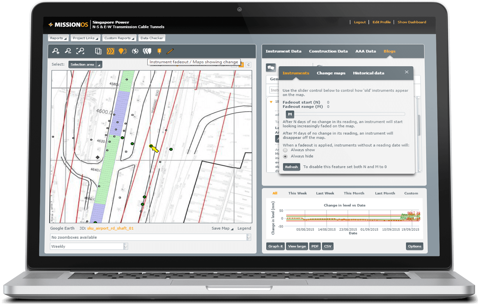
- Using the fadeout option users can determine whether old data should be visible or whether it should fade away over time. After time N it will no longer be included in any plots.
- Section Using the change maps option the user can display instrument either issuing alarms over a period or change as % of alarm over a period. Construction can also be displayed in the same way so that cause and effect can be displayed.
- The status of instruments on any day can be re-displayed and compared with the current situation


